I debated at length whether or not to do a Geo and History piece to the Lakeshore blog post. Since it’s so small and new I figured I could probably get away with not doing a part two. But as I was searching for a few pieces of information for the first post, I found enough additional interesting info that I was completely unaware of the first time, and so I think I’ll do this (very short) post to not only provide additional context and information to the first post, but keep with the current tradition of this blog.
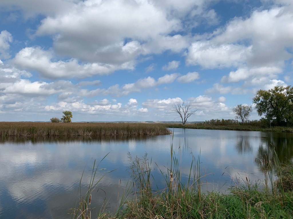
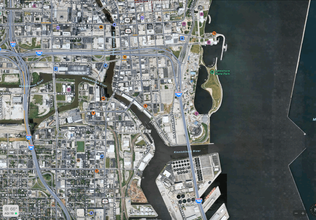
In the early 1800’s, the area currently occupied by Lakeshore State Park was actually a lake (not Lake Michigan though – it would have had a small beach in between it and Lake Michigan). In fact, much of the Lakefront, Downtown, and Third Ward was actually a lake and surrounding wetlands. Just south of the current location of Lakeshore State Park sits the confluence of the three Milwaukee rivers: The Milwaukee, The Menomonee, and Kinnickinnic Rivers. Before Milwaukee became developed, these rivers would have flooded seasonally, and forming their own small delta, the area all around it would have been very marshy, with various ponds and lakes scattered about. Lakeshore State park currently sits on the ancient lake bed of one of these ponds.
For those unfamiliar with the natural productivity of the wetland ecosystem, it is rich with wildlife and plants. Fishing, hunting, and gathering in the areas around these three rivers and wetlands first attracted the Native Americans to this area. Later, during European settlement, the natural harbor of the area sprang the economy and boosted the population as shipping into the continent via the Great Lakes became some of the most efficient ways of moving goods. Over time, as Milwaukee grew, they filled in the wetlands and seasonal ponds and lakes to increase the amount of land, make the land more productive (ironic if you ask me), and meet increased shipping and housing demands. Lake beds and river beds were dredged, the rivers were channelized and tamed, and the harbor expanded, all in the name of forward progress. If I could go back in time to see the area, I’m sure it would have been a nature lovers paradise.
In any event, there is a silver lining in all of this wetland destruction talk, and that is that the proposed docks and piers for the current Lakeshore location never came to fruition. With the sheer amount of wetlands that ended up getting filled in, not just in the area directly adjacent to the park, but the entirety of the large swath of wetlands that extended out from the harbor, having an urban green zone in the area is a good start. Yes, I said start. It needs to be expanded and improved. With the push for denser building and urbanization, and the movement for less car reliance, the nearby area is ripe for adding extra urban green zones. While the Summerfest Grounds will probably never relocate, the incredible amount of parking lots nearby do not need to exist in their current form. The Lakeshore State Park that exists today can, and should, be expanded, even if only a small amount and in incremental stages. Being that close to the lake has a significant importance to the wildlife in the area. The entire city needs more urban green zones, but why not start with an addition to Lakeshore State Park. The information for todays post came mainly from the Wisconsin Department of Natural Resources.